Walking up an appetite

Walking up an appetite

The best Irish walks with good food at the end

Irish Times, Saturday, May 4, 2019

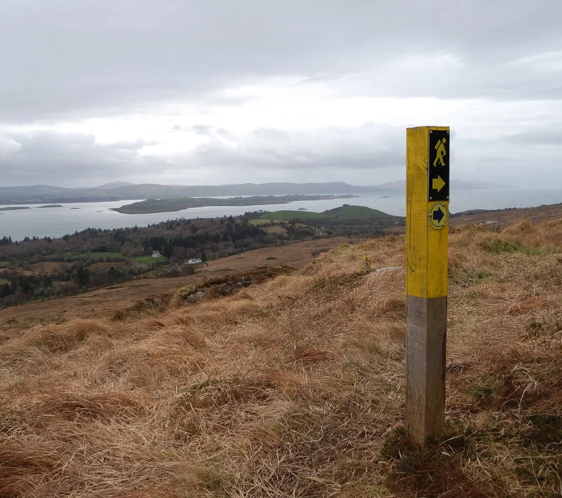
Keane’s Bar of Maam in Connemara is a rather singular place known to many walkers in the west. The allure of its roaring fire and cheese toasties is so strong that, when planning walks, I often find myself subconsciously choosing hills and trails within an easy radius of the place. Or even making a detour when I’m not that close.

Read More

Cycling the Royal Canal, from Dublin to the Shannon

Cycling the Royal Canal, from Dublin to the Shannon

Camping gear strapped to our bikes, we headed off for a blissful weekend

Irish Times, September 28, 2019

After finishing work one Friday in high summer, my girlfriend Michelle and I left her house in Cabra, took a short cycle up to the Royal Canal, and followed it all the way to the Shannon.

It was a warm, grey evening. We left having done minimal research: we just knew that a cycling greenway was under construction along the canal, and that it was mostly complete. Camping gear strapped to our bikes, we would figure out the rest as we went.

Read More

A Connemara island on the first day of spring

A Connemara island on the first day of spring

Luibin Garumna is a new trail that explores this less-visited Gaeltacht region 

Irish Times, March 7, 2018

In my mind the real Connemara is not to be found on the tour-bus routes that pass Killary Harbour or Kylemore Abbey, but in places like Ceantar na hOileán, the archipelago of Gaeltacht islands in the south-west of the region. 

Far from tourist hotspots, devoid of iconic mountains, and at the end of a road that leads nowhere, na hOileán is a densely populated and thriving Gaeltacht with a strange landscape all of its own. A new looped walk explores the largest of the islands here, Garumna. 

Read More

A wood in winter

A wood in winter

Rosscahill Woods in Galway are little-known, but together with nearby Brigit’s Garden, make for a fine day out

Irish Times, January 24, 2018

For anyone traveling west towards the mountains of Connemara, Ross Lake near Moycullen is an early sign of the wildness beyond. Coming from Galway City, the lake catches your eye with its thickly wooded shore, and the striking lime façade of the towering manor on its north bank.  

Most walkers drive on to the hills and coast further west. But the forest on the western shore of the lake makes for a fine short ramble, and on a cold day in early winter we walked here under mercurial skies. 

Read More

Follow the song of the paddle

Follow the song of the paddle

Lenny Antonelli spends a slow weekend exploring the Barrow valley on a canoe-camping trip

Irish Times, August 26, 2017

The canoe might be the finest vessel ever built for the traveller. In a canoe you can explore slowly and intently, just like walking or cycling, but from the water you see everything from a new perspective. The landscape takes on a certain freshness.

My first trip in a Canadian-style open canoe was on the Royal Canal in 2015, paddling slowly from Enfield to Mullingar over three days. Then I canoed the Barrow and Upper Lough Erne, each time camping along the way. In July of this year, I returned to the Barrow, the best of Ireland’s big rivers.

Read More

Land of shade and shadow

Land of shade and shadow

This corner of the Burren is full of ambiguity, writes Lenny Antonelli

Irish Times, June 7, 2017

The Irish uplands are often a study of definites, in open spaces and hard borders. Desolate mountains stretch into the distance. Dark blocks of spruces end abruptly at fences. Drystone walls enclose green fields perfectly.

But one particular corner of the Burren is full of ambiguity. The area around Mullaghmore, in the south-east Burren, is an amorphous place where grasslands, turloughs, scrub and woods shift and dissolve into one another.

I am drawn back here over and over. And on a grey, tepid day in early May I set out to undertake a grand traverse of this region, following the Burren Way with two friends.

Read More

Lush woods and open heath above Bantry Bay

Lush woods and open heath above Bantry Bay

This short, rugged trail follows in the footsteps of a pioneering Irish botanist

Irish Times, March 29, 2017 

In just a few short kilometres this fine little trail near Glengarriff explores lush woods and open heath high above Bantry Bay. The trailhead is beside a fine old bridge over the Coomhola River.

With your back to the mapboard, go left until you see the trail beside a house on your right, heading into the woods. You follow this hazel-lined path into a dark, damp forest rich in mosses and ferns.

Keep your eyes peeled for the blue arrows of the Coorycommane Loop as they guide you through the trees, eventually bringing you out to a muddy lane lined with brambles, gorse and pine. You are also following the yellow waymarkers of the Beara Way here.

Read More

Hit your peak on home turf

Hit your peak on home turf

For a few brief weeks each winter, if the weather is just right, eager climbers grab their ice axes and crampons and head for the high, snowy peaks of… Kerry? Lenny Antonelli spends a cold day learning snow and ice climbing on Ireland’s highest mountain 

Sunday Times, March 5, 2017 

Even in Ireland, winter can bring a deep freeze to the mountains. It might seem balmy at sea level, but up in the hills you can find yourself walking through deep snow and surrounded by thick cloud. If you love hillwalking, this is an exciting time, as the mountains you know and love are transformed into strange, snowy landscapes. 

This is prime time for winter mountaineering, Irish style — ice axe, crampons and all. Which is what I was doing meeting mountain guide Piaras Kelly of Kerry Climbing, and a group of eager climbers, on a dark January morning at Cronin’s Yard, the traditional start point for ascents of Carrauntoohil. Through the dim light I could just about make out the snow-capped ridges of the MacGillycuddy’s Reeks above us. 

Read More

'A difficult place for the mind to grasp': walking the Indreabhán bog

'A difficult place for the mind to grasp': walking the Indreabhán bog

Irish Times, February 11, 2017

The vast bogs that lie just west of Galway city are a difficult place for the mind to grasp. Beyond here is Connemara, a region that – while its borders are vague – at least has a coastline, mountains and villages that give it some sense of structure and definition.

But between Galway and Connemara is an empty and nameless space, where few people ramble. In my adolescence, I would often cycle the mountain road here between Moycullen and Spiddal, and stare into these featureless plains, dumbfounded.

But these spaces have gradually been rationalised and civilised over the years. First by the arrival of forestry – there are big plantations here – and now by the development of wind farms rising on once empty horizons. The wild bog north of Indreabhán is one of the few untouched parts of this peatland, and from the coast road, long boreens stretch high into the bog.

Read More

Where's the wild in Wild Nephin?

Where's the wild in Wild Nephin?

Many Irish wildlife enthusiasts have been asking one question over the past year – what’s going on with the Wild Nephin rewilding project? Lenny Antonelli digs a little deeper.

Irish Wildlife magazine, Winter 2016/17

Jointly announced three years ago by the State forestry company Coillte and the National Parks and Wildlife Service (NPWS), the Wild Nephin Project’s stated aim is to create an 11,000 hectare wilderness area in the Nephin Beg mountains of north west Mayo. The most exciting element is perhaps Coillte’s plan to take 4,000 plus hectares of lodgepole pine and spruce forestry out of commercial operation, and to ‘re-wild’ the plantation into a large-scale mosaic of mixed woods and bogland. 

Coillte said this would be achieved by thinning out the dense conifer stands, introducing native trees, and blocking forest drains to restore bogland. Rather than take an intensive approach to management Wild Nephin, as the project is known, would take these initial steps – then stand back and let nature take over. Under the plans, the forests would be combined with the mountains and bogland of the adjoining Ballycroy National Park to create a large-scale ‘wilderness’ area – the first of its kind in Ireland. Forest roads would be closed to vehicles, and simple huts erected for backpackers, in a bid to facilitate ‘primitive’ recreation.

Read More

'In my mind it had become near-mythic': a bike tour of the Beara Peninsula

'In my mind it had become near-mythic': a bike tour of the Beara Peninsula

A week-long tour of the picturesque area leads to ancient woods, arty villages and colourful characters

Lenny Antonelli, Irish Times, August 13, 2016

The whistle-stop schedules of tourists visiting Ireland can sound exhausting. The Ring of Kerry and Giant’s Causeway in one week? “They should just spend a week exploring one peninsula,” a friend once said, after we’d been talking to some Americans who told us their travel itinerary.

I decided to borrow his idea. Despite walking and cycling much of the west coast over the past decade, I had never been to the south-west’s mountainous Beara peninsula, and in my mind it had become near-mythic.

The place-names sounded exotic to me: Allihies, Eyeries, Lauragh, Tuosist. The peninsula itself is said to be named for Princess Beara, the Spanish wife of Eoghan Mór, legendary King of Munster.

It seemed like a place that called for slow exploration. So on a warm, cloudy Monday, I loaded a mountain bike with my tent and sleeping bag and cycled south from Kenmare. I had one week ahead of me and no plan in particular, except to find out what – if anything – makes Beara unique.

Read More

'What it lacks in length, it makes up with spirit': walking the Avonmore River

'What it lacks in length, it makes up with spirit': walking the Avonmore River

A new trail in Co Wicklow explores one of Ireland’s most spectacular rivers

Irish Times, July 27, 2016

The Avonmore in Co Wicklow makes a case for being one of Ireland’s great rivers. What it lacks in length and volume, it makes up with sheer spirit, flowing wide and quick from Lough Dan to the point where it meets the Avonbeg, below Rathdrum. Together they form the Avoca. A new trail launched in April, the Avonmore Way, explores this wooded valley.

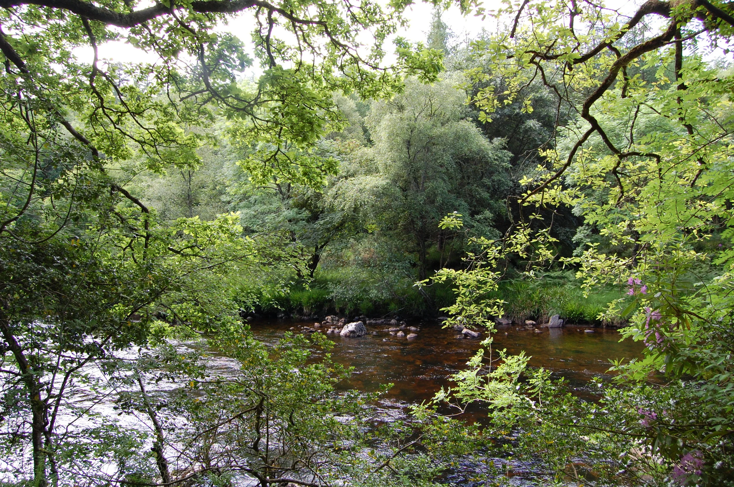
I walked it southward on a hot June day. From Trooperstown Forest (just outside Laragh), cross the bridge at the back of the car park and go right at the junction. Soon you pick up the waymarkers for the Avonmore Way as you climb through Scots Pines. In the summer heat, botanical life seemed to sprout from every crevice: bracken and gorse, hawthorn and birch, rowan and wildflowers blooming in any open space.

Read More

'You can sit beside an ant heap and munch away'

'You can sit beside an ant heap and munch away'

Lenny Antonelli discovers how to dine on a menu of red ants, nettles, fish and spruce tea in the heart of the Irish wilderness

Sunday Times, July 10, 2016 

“I think you’re going to have to get your shoes and trousers off and get into the stream for a look,” Nathan Kingerlee said to me blankly. “We’re going to try to flush out the fish from wherever it’s hiding.”

I started laughing — then saw the look on his face. This was no joke. We were hiking into the mountains of Kerry, following the path of a twisting river into a deep gorge. Nathan was teaching me how to gather, catch and cook food in the Irish wilderness. This wasn’t the kind of foraging where you collect elderflower to make cordial in your kitchen. This was about surviving in the wild. 

All down the valley the gorse bushes were flowering bright yellow, while patches of oak, birch and hawthorn blossomed in the shadow of the mountains. Nathan had left seven fishing lines in the river the night before — just bits of fishing line fastened to a stick on the bank, with a worm left dangling in the water. This wasn’t about fishing for fun — this was about catching dinner. 

Read More

Land of rocks & echoes

Land of rocks & echoes

The Slievetooey coastline of County Donegal in the north-west of Ireland boasts exhilarating cliffs, inaccessible beaches and an unrivalled chain of sea stacks. Lenny Antonelli spent two nights walking and wild camping in this coastal backcountry at the edge of Europe

The Great Outdoors, Spring 2016

IT WOULD BE EASY to mistake Gleann Cholm Cille for the end of the earth. Here at the far-flung tip of Donegal’s Sliabh Liag peninsula, the road crosses a high empty bog on its way to the Atlantic, and you expect that at any moment, it might suddenly end on some desolate cliff-top. But then this Gaelic-speaking village appears under you like a Greenlandic outpost, a scatter of low cottages enclosed by high cliffs and mountains. Gleann Cholm Cille sits at the seaward end of an unlikely fertile valley, facing down the mercurial Atlantic.

It took me six hours and three buses to get here from Galway on a dull Friday in July. I came for a weekend backpacking trip on the wild roadless coast north of the village. My plan was to hike along the cliffs for a few hours, set up camp, then start in earnest the next morning.

As I got of the bus the sky was darkening, the wind was picking up, and rain was on the way. My mood was dark too. I don’t really know why, but it almost invariably is just before any solo backpacking trip. Once the excitement of planning and packing is over, my enthusiasm disappears and, almost always, I become overcome with a deep apathy.

Backpacking with friends is jovial and social, but heading out alone forces you confront the extremes of your thoughts and feelings. On any solo trip to the wild, my mood will swing from total elation to deep melancholy. But it usually starts of at its worst, particularly if the weather is grey, which it was that Friday evening. I knew this would change dramatically so long as I kept putting one foot in front of the other.

Read More

'This felt like freedom': canoeing the Royal Canal

'This felt like freedom': canoeing the Royal Canal

Lenny Antonelli spends four days winding through rural the heart of the midlands on a canoe camping trip up the Royal Canal

The Sunday Times, Sunday August 16, 2015

(Please note this is my original version of the article, not the edited final version that appeared in the paper, which is available behind the Sunday Times paywall here)

Last March I was learning to canoe on the Lakes of Killarney, under craggy mountains and ancient oak woods, when my instructor Nathan Kingerlee from Outdoors Ireland said to me: “You know, there’s something really special about canoeing on the canals.”

The canals? There we were paddling on one of Ireland’s iconic beauty spots, and he was eulogising about canals. But I knew there was an understated beauty to Ireland’s inland waterways, even if many people associate them with stagnant water and submerged traffic cones. Nathan had recently taken a canoeing trip on the Royal Canal, and suggested I do the same.

Read More

Huge Romanian rewildling project aims to create 'European Yellowstone'

Earth Island Journal, 11 May 2015

In an ambitious new rewilding project, conservationists hope to create a ‘European Yellowstone’ amid the beech woods, spruce plantations and alpine pastures of Romania’s Fagaras Mountains. Backed by wealthy donors, the nonprofit Foundation Conservation Carpathia (FCC) is buying land for what it hopes will ultimately become a vast national park.

So far FCC has spent €45 million buying 40,000 acres of land, but the group’s ultimate goal is to protect 500,000 acres, which it then plans to donate back to the people of Romania. Although FCC is buying some of this land, the group also hopes to convince some stakeholders — such as the state and other local landowners— to put their land into the park. FCC’s largest backer is the Wyss Foundation, a philanthropic group founded by the Swiss medical devices billionaire Hansorg Wyss, which has already contributed $175 million to protect 14 million acres of wild land in the American West.

The Fagaras Mountains lie at the southern end of the 1,000-mile long Carpathian range, which stretches across east and central Europe. The Carpathians are a stronghold for Europe’s three big predators — the grey wolf, brown bear, and Eurasian lynx — as well as the continent’s most extensive old growth forests.

Read More

The wild streets of Galway

The wild streets of Galway

Take an urban safari on the city's waterways

Irish Times, February 22, 2015

I know few betters ways to see wildlife in Ireland than to walk Galway’s inner bay, and waterways. Start from the aquarium in Salthill and follow the prom towards the city. For me, Galway Bay seems most vital on calm autumn evenings, when the syrup-still water shakes with life as mackerel chase sprat inshore, while seals and gulls stalk the frenzy.

The prom brings you to Grattan Beach, where I’ve found everything from cuttlefish to sea stars to small conger eels in tidepools. Past here, you can walk the causeway out to Mutton Island, under an amphitheatre of mercurial light and weather. But don’t venture out here in high winds or very high tides. The causeway was the first place I saw an otter: when I approached at dusk, a lone walker, it slinked from the road into the sea and was gone.

Read More

Walking with the tides

Time your visit to this mysterious tidal island with care

Irish Times, 10 January 2015

For years, Omey Island seemed a near-mythical place to me. Despite exploring much of the Connemara coast I had never been to this tidal island, which you can walk to at low water but which becomes cut off at high tide. Inishbofin, Inishark and Inishturk print their silhouettes indelibly on the western skyline, but Omey hides away under the Aughrus Peninsula.

You can cross the wide strand from Claddaghduff Quay to Omey around low water from roughly half-tide to half-tide. But tidal conditions vary each day, and with the weather, so ask in Sweeney’s shop and pub in Claddaghduff for local advice before setting out.

We crossed Omey Strand an hour before low tide one gusty October day, roughly following a route described in Paul Phelan’s book Connemara and Mayo: A Walking Guide (Collins Press, 2012). Rather than follow the signposts all the way over the strand, this route veers right towards a prominent house near the island’s northeastern corner.

As we crossed the beach, a hearse started out across the hard sands, followed by cars. The burial procession advanced slowly through the grey wind, bound for Omey’s graveyard.

As you reach Omey, turn right and follow the shore, passing the graveyard if you haven’t already. Ignore the sandy road leading inland towards the house and continue along the beach. You can now pick up a sandy track above the curving shoreline and follow the northern coast (no fence-hopping required).

You will come to one beach, then another. Where a fence turns inland above the second beach, follow it to the remains of Teampall Féichín. This medieval church was built on the site of an earlier monastic settlement founded by St Féichín. Omey’s Gaelic name is Iomaidh Féichín, the bed of Féichín.

Return to the beach and continue to follow the shore. This exposed corner of the island is called Guairín, meaning small dunes, according to Tim Robinson’s book Connemara: The Last Pool of Darkness, from which I have gleaned much of my information. It is mostly machair, a sandy grassland only found in western Ireland and Scotland. The grass is populated by snails that use the lime-rich sands to build their shells.

You will reach the island’s northwest corner, where there is another small tidal island offshore, and, further west, Cruagh Island. Follow the shore of Omey as it turns and heads southeast.

The wind was heavy and the sky grey – not a solid grey, but a fluid mass of moving shades and shapes. To the south, towards Slyne Head, the dim sunlight broke through in crepuscular rays. Keep the sea on your right until you come to a small bay. St Féichín’s well, where pilgrims have left strange trinkets, is above the shore here.

In 1841, Omey was home to 396 people; just 10 years later, after the Famine, this had almost halved. The island’s school closed in 1973, and today there is just one year-round resident.

Cross the beach, join the road by two mobile homes and go left, past the lake and back down to Omey Strand. Presuming you haven’t horribly miscalculated the tides, you can follow the posts back across the sand to Claddaghduff.

WALK: OMEY ISLAND, CO GALWAY

Map: OSI, Discovery Series Sheet 37.

Start/finish: Claddaghduff Quay, Co Galway. The turn for Claddaghduff and Omey is about 3.5km north of Clifden on the N59. Turn at Claddaghduff church for the quay, or continue straight for Sweeney’s shop/pub.

Time and distance: Roughly 8km, 2.5 to 3 hours.

Suitability: Easy to moderate walking. Head out well before low tide. Omey has no services.

Secrets of Slieve Bloom

Walk in a wooded valley in the Slieve Bloom mountains

Irish Times, 30 August, 2014

An experienced hillwalker once told me that his least favourite range was the Slieve Bloom mountains of Laois and Offaly. I can’t recall his reasoning, but I imagine it might have been that it’s boggy and fairly flat, with no soaring peaks, and covered in forestry.

But the Slieve Blooms hide glorious secrets. Having lots of wooded rivers in one small range is invigorating, and you can explore one of these by walking the Brittas loop at Clonaslee, Co Laois.

The Slieve Blooms were behind a wall of mist when I approached, after heavy showers soaked the midlands. From the trailhead, the blue markers followed a track into woods along the river, where there was plenty of hazel, beech, ash, and Douglas fir.

These woods are part of the old Brittas estate, held by MP Francis Plunkett Dunne, who built nearby Brittas House in 1869. The Dunnes were said to be descendants of the legendary high king of Ireland, Cathair Mór.

The trail passes an old weir and the ruins of an old bridge. You will pass new footbridges too, but stay on the right bank as the trail goes through a series of stiles. After a while the track climbs away from the river, leaves the wood and joins a grassy lane between two fields.

Hints of autumn were everywhere: blackberries ripening, bracken beginning to rust and birch leaves yellowing. The boreen emerges to a road, where the trail turns right, then immediately left into more woods of beech and holly.

The path brings you to Brittas lake, built as a reservoir for the old estate, with water pumped up from the Clodiagh river. There are picnic benches and old fishing stands.

Beside the lake is a grove of Scots pine, a graceful tree rooted deeply in Ireland’s ecological past. This species once thrived on Ireland’s uplands and marginal habitats, but was pushed out as the climate grew wetter, bogs expanded and early farmers cleared the land. It may have survived in isolated refuges. But most Scots pine across the country today is from Scottish stock.

The waymarkers at Brittas lake are a little confusing, but essentially they direct you to lap the lake fully. As you leave the lake behind, rather than turn left down the path you came from through the woods, continue straight to some barriers, and go left.

There was once a large oak forest here, and you can see old oaks along the track. When you reach a fork, follow the waymarker right. A bit further on, you swing left where a grassy track leads off to the right.

Here a fallow deer and her fawn stood on the path ahead of me. I expected them to bolt, but the mother strayed into the woods, leaving the youngster behind to stare dumbly at me. I moved closer, until the mother returned and both deer darted. The route then crosses straight over a forest road and onto a grassy lane. Where a fallen tree blocks the path, circle around it to the left. The path emerges through an old gate of the Brittas estate to the west side of Clonaslee village.

From here you can continue straight on past some houses to reach the crossroads, where you turn right for the trailhead to complete the loop.

Map: OSI Discovery Series Sheet 54, or download from coillteoutdoors.ie. Start/finish: Clonaslee, Co Laois, 14.5km west of Mountmellick on the R422. From the crossroads by MD Hickey’s pub, take the road south along Clodiagh river, towards the mountains. Trailhead is on your left. Time and distance: 8km, 2 to 2.5 hours, not including breaks. Suitability: Graded moderate. Trail follows woodland trails, forest tracks and farmland lanes. Some parts are wet and muddy.

Those not-so-wild Europeans

Re-creating wilderness on a continent that has almost none

Sierra magazine, July/August 2014

In Ireland’s blustery Nephin Beg Mountains, the state-owned forestry company Coillte is rewilding roughly 11,000 acres of pine and spruce plantation. By thinning the canopy, closing logging roads, and establishing a system of shelters, it hopes to turn this industrial forest and parts of neighbouring Ballycroy National Park into a 27,000-acre recreational wilderness.

Coillte won’t fully liberate the forest to natural processes for another 14 years. But when it does, this will will be a rare parcel of European land unmanaged by humans. “We actually want our landscape to become one where there are no humans driving the changes,” says Bill Murphy, who’s overseeing the project for Coillte.

Nobody is certain how much wilderness Europe has left, but the best estimates say it’s 1 percent or less. Most of this land is in the east, where bison roam Poland’s Białowieza Forest, old-growth trees carpet the Carpathian Mountains, and taiga blankets the Russia-Finland border. The rest of Europe has been paved, cultivated, grazed, logged, urbanized, or otherwise degraded.

Definitions of “wildland” and the laws protecting it vary across the continent. Europe has no shared wilderness literature or history, says Mark Fisher, an honorary research fellow at the Wildland Research Institute; there is no European Muir or Leopold. While America’s early preservationists were idealists who fought to protect wild places from development and safeguard the public’s right to explore them, their European counterparts were instead driven by the science of conserving species and habitats.

The planned wilderness in the Nephin Beg Mountains, called Wild Nephin, is part of Western Europe’s nascent rewilding movement. In Germany, the Brandenburg Wilderness Foundation is returning vast military camps to the wild, while in Scotland, the nonprofit Trees for Life is restoring Caledonian Forest to highlands. All three projects are guided by the principle that nature can take over again, so long as it gets a leg up.

Up to now, hikers have shared Nephin’s forest tracks with logging trucks. But Coillte plans to cease commercial logging, shut out motorized vehicles, and turn forest roads into rough trails. When rewilding is complete, backpackers will be able to hike through Ireland’s most extensive wild forest, camp in backcountry shelters, and explore a roadless expanse of woods, mountain, and bog with no trace of human habitation or modern infrastructure.

It’s a paradoxic, of course, that such rewilding requires human intervention. But if Europe succeeds, hearts and minds may follow, and Nephin’s resurrected forests, bogland, and rivers could serve as a glimpse of Europe’s modern frontier.